What is a level survey?
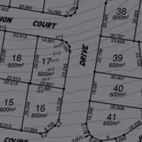
Also sometimes known as a topographic or contour survey, a detail & level survey maps the terrain & natural features of a parcel of land relative to a height datum. The Australian Height Datum is used in nearly every situation as this Datum is recognised by Local Authorities and is used in conjunction with flood levels such as the Q100, Q50 etc. Having a Detail and Contour Survey performed and a Contour plan prepared is of great importance and should always be arranged prior to designing a house/new building or adding a major extension. Our company has performed hundreds of Contour surveys of this nature throughout Brisbane & other South East Queensland councils, so we are familiar with all local Council requirements.
These are usually required for..
- Submission of development applications
- Architectural or engineering design plans
- Before you extend or build a new structure on your land
- Property valuation purposes
- Assessment of drainage issues and to plot any known flood levels
Our process
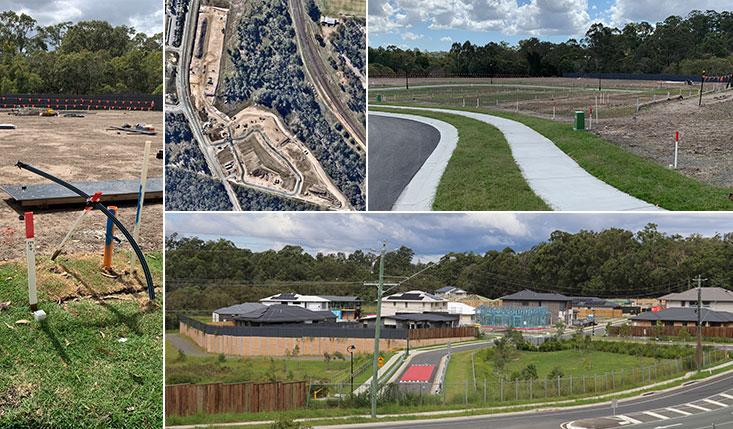
One of our qualified land surveyors will visit your property to carry out a detail survey of your land and measure all of the required improvements or features. The data is gathered using specialist surveying instruments and recorded. It is then taken back to our office to be processed into a Digital Terrain Model (DTM) using specialised drafting software from which we draft a plan. This plan will contain the topographic features of your land. These plans are then used by engineers, developers, architects & other professionals to ensure the work they do takes into account the information and data we have collected. This is very important because it ensures your land is properly accounted for and protected against things like floods which are so prominent in South East Queensland.
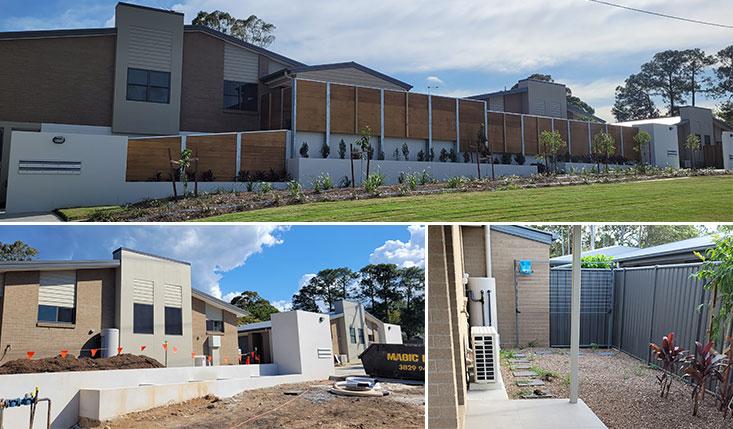
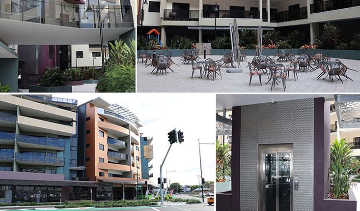
Some of our level survey previous projects
- Karalee Grove Estate – Junction Road Karalee
- Park Lake Estate – Starkey Street Wellington Point
- Luke Street Thornlands Development – Luke Street Thornlands
- Devine Estate Cleveland – Adam Street Cleveland
- Sea View Rise – Thornlands Road Thornlands
- Grant Rd development – Grant Road Caboolture


