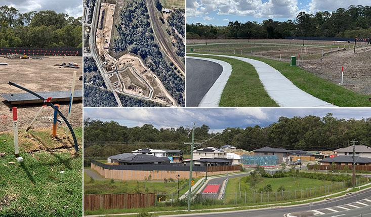
Experienced South East Queensland spatial professionals
Surveyors provide a wide range a services to the development industry. As spatial professionals, surveyors are becoming increasingly better equipped with the knowledge and skills to address the changing needs of our developing world. If you require data to be acquired as part of a larger data base, we can certainly help in the acquisition or collection stage.
List of applications we can provide using laser scanning
- Data acquisition and visualization using terrestrial and airborne LiDAR
- Data classification and labeling
- Scanning in different area typologies such as urban, rural, forests, rivers, farms, and mountains.
- Data modelling:
- Buildings
- Vegetation
- Roads
- Railways
- Powerlines
- Bridges
- Tunnels
- Monitoring of slopes, road, bridge, railways, and airports
- Feature extraction and modelling
- Digital Terrain Model (DTM)
- Digital Surface Model (DSM)
- 3D Mesh
- Contour lines
- 3D and 2D models
- Break lines
- Orthophotos
- Data acquisition for project management (scanning, modelling, and monitoring):
- Civil engineering application such stockpile and hole volume measuring, under construction building modelling
- Industrial applications such as factory, machine, and pipeline modelling
- Agricultural applications
- Architectural applications such as building façade modelling
- Archaeology applications
- Geology applications
- Close range photogrammetry modelling
- Multidata source modelling (Terrestrial, airborne, LiDAR, and photogrammetry)
- Different scanning scales


